
AI platform for upscaling images, enhancing photos, and generating high-quality creative assets with contextual detail.

Cyvl.ai
$1Starting price
4.2KMonthly visits
10Popularity
About Cyvl.ai
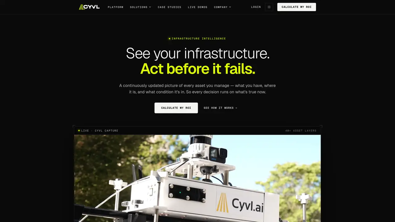
Cyvl.ai is a cutting-edge platform designed to revolutionize the management of transportation infrastructure through AI-powered mapping. By partnering with engineering firms and governments, Cyvl.ai provides tools to map, measure, and inspect the physical world with unprecedented efficiency and accuracy. This technology empowers users to make fast, data-driven decisions that are crucial for building and maintaining robust transportation networks. Key Features: Automated Pavement Condition Assessments: Utilizes advanced algorithms to perform detailed pavement condition evaluations. 360° Streetview Imagery: Offers comprehensive street-level imagery for enhanced urban analysis and planning. LiDAR Scanning: Provides rapid 3D LiDAR scans of the built environment, significantly reducing the time required for data acquisition. Asset Detection: Capable of detecting a wide array of Right-of-Way (ROW) assets, such as streetlights, signs, and hydrants. Sign and Tree Inventories: Simplifies the process of inventorying traffic signs and managing urban forestry through sophisticated AI technology. Cyvl.ai stands out with its integration of AI with LiDAR technology and 360° imagery, offering a comprehensive view of the physical world that is unparalleled in the industry. Its ability to provide actionable insights with rapid turnaround times sets it apart from traditional methods.
Key features
- Automated Pavement Condition Assessments
- 360° Streetview Imagery
- LiDAR Scanning
- Asset Detection
- Sign and Tree Inventories
- ArcGIS Integration
- Civil 3D Compatibility
- Cartegraph Integration
Use cases
- Infrastructure analysis for engineering firms
- Urban development projects for urban planners
- Environmental impact assessments for environmental consultants
Pros
- Provides comprehensive, network-wide infrastructure data with high accuracy using AI and LiDAR technology
- Enables faster decision-making with real-time, continuously updated asset condition assessments
- Supports multiple asset types (e.g., roads, sidewalks, signs, streetlights) in a single survey pass
- Offers plain-language querying for generating reports, work orders, and plans directly from the platform
- Reduces survey time and costs by leveraging existing fleet vehicles for data collection
Cons
- Requires mounting hardware installation on fleet vehicles, which may involve logistical coordination
- Dependent on fleet vehicle routes, which could limit coverage in areas with infrequent traffic
- Initial setup and integration may require technical familiarity with sensor installation and data processing
Frequently asked questions about Cyvl.ai
What is Cyvl.ai and what does it do?
Cyvl.ai is an AI-powered platform that captures, maps, and analyzes transportation infrastructure data using LiDAR, 360° imagery, and GPS. It provides governments and engineering firms with real-time, accurate asset inventories and condition assessments to support maintenance, planning, and budgeting decisions.
Who is Cyvl.ai designed for?
The platform is designed for cities, counties, state DOTs, and public works teams that need to manage road networks, sidewalks, signs, and other infrastructure assets efficiently. It serves engineering firms and government agencies seeking data-driven infrastructure solutions.
How does Cyvl.ai collect data?
Cyvl.ai uses self-installable sensor rigs mounted on existing fleet vehicles to capture LiDAR, 360° imagery, and GPS data during normal operations. This approach eliminates the need for dedicated survey crews or one-time snapshots, enabling continuous network updates.
What types of assets can Cyvl.ai detect and inventory?
The platform can detect over 40 asset types, including pavement, sidewalks, ADA ramps, signs, markings, signals, streetlights, manholes, and more. It provides comprehensive right-of-way asset inventories with precise locations and conditions.
How does Cyvl.ai help with infrastructure planning and budgeting?
Cyvl.ai enables users to generate defensible capital plans, multi-year budgets, and work orders directly from real-time asset condition data. Its AI-powered assistant allows users to query infrastructure data in plain language to produce reports or plans instantly.
What is the pricing model for Cyvl.ai?
Cyvl.ai offers cooperative contracts and procurement paths tailored to government clients. Pricing is based on network size, asset types, and service levels, with options to calculate ROI and explore case studies for specific use cases.
Cyvl.ai Website Engagement
Last Update: 9 days ago
Total Monthly Visits
0
Bounce Rate
0%
Visit Duration (avg)
0.00s
Pages Per Visit
0
Country Rank
0
United States
Global Rank
0
Monthly Traffic
Traffic Sources
Traffic Share By Country
- United States100%