
OpenAI builds and deploys advanced AI models like GPT-4o for autonomous agents and workflows.

Strahler
0Popularity
About Strahler
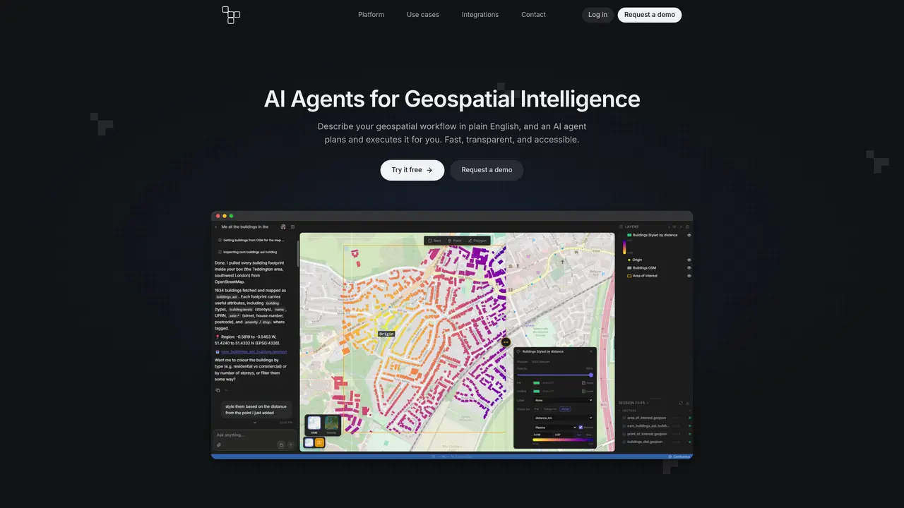
Strahler enables users to define geospatial workflows using plain English prompts. An AI agent interprets the request, retrieves relevant geospatial data, performs analysis using real GIS tools, and generates an interactive map. The resulting map can be styled, shared via a link, and exported for further use. The system is designed for users who need to automate geospatial analysis without requiring direct access to GIS software or technical expertise.
Key features
- Natural language workflow definition
- Real GIS tool integration
- Interactive map generation
- Map styling options
- Link-based sharing
- Export functionality
- Geospatial data retrieval
- Analysis automation
Use cases
- Automating flood risk mapping from plain English descriptions
- Generating land-use change visualizations based on user prompts
- Creating shareable interactive maps for urban planning reports
Pros
- Interprets natural language workflows
- Uses real GIS tools for analysis
- Generates interactive maps
- Allows map styling and sharing
- Exports results for further use
Cons
- No mention of API access
- No indication of multi-language support
- No clear pricing or free tier
- Limited to geospatial workflows
Frequently asked questions about Strahler
What does Strahler do?
Strahler enables users to define geospatial workflows using plain English prompts. An AI agent interprets the request, retrieves relevant geospatial data, performs analysis using real GIS tools, and generates an interactive map.
Who is Strahler designed for?
The system is designed for users who need to automate geospatial analysis without requiring direct access to GIS software or technical expertise.
How do I get started with Strahler?
Describe a geospatial workflow in plain English, and a Strahler agent will handle the rest, from data retrieval to map generation.
Can I share the maps created with Strahler?
Yes, the resulting interactive maps can be shared via a link and exported for further use.
Does Strahler use real GIS tools for analysis?
Yes, the analysis is performed using real GIS tools integrated within the Strahler platform.
Is Strahler suitable for users without GIS expertise?
Yes, Strahler is designed to allow users to perform geospatial analysis without requiring direct access to GIS software or technical expertise.