An AI-driven experience management platform for enterprises to collect multi-channel feedback, analyze structured and unstructured data, and deliver actionable insights.

LandBenchmark
$19Starting price
1.3KMonthly visits
2Popularity
About LandBenchmark
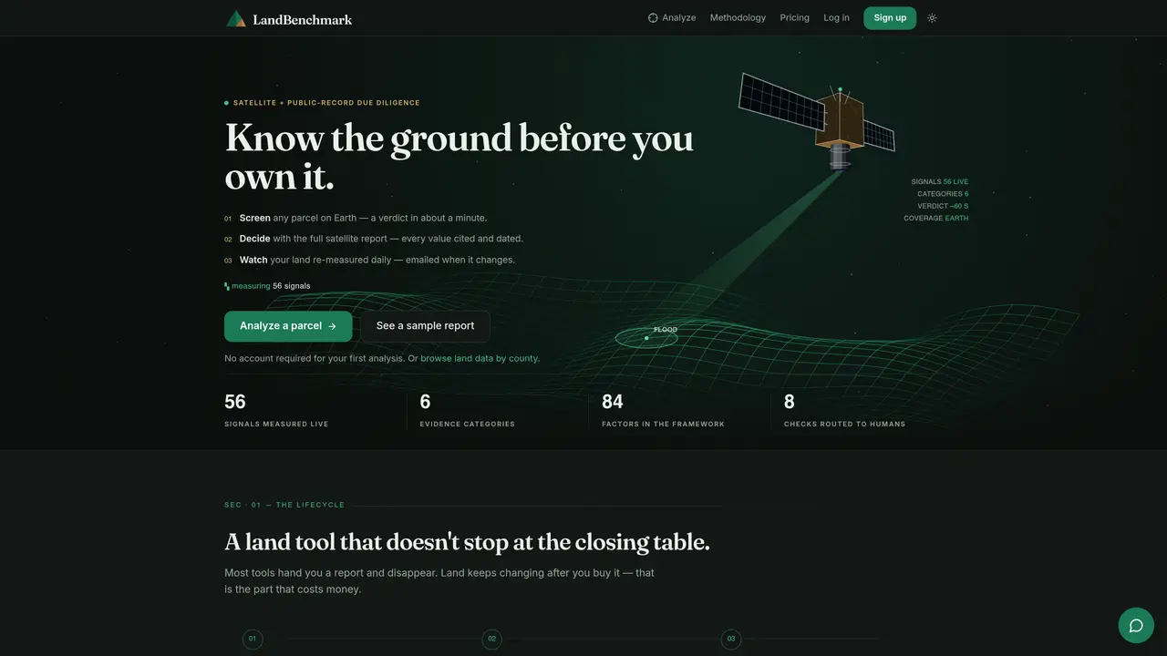
LandBenchmark provides satellite-based land-risk reports and due-diligence tools for parcels worldwide. Users can screen any parcel on Earth to receive a preliminary verdict within about a minute, covering factors such as flood history, slope, usable acreage, soils, hazards, and neighboring properties. The full satellite report includes every measured value cited and dated, with explanations of methods, sources, and observation dates. After purchase, users can monitor their land daily, receiving email alerts when changes occur, such as new standing water or vegetation shifts. The platform also offers a human-verify checklist for unresolved issues like title, easements, water rights, and perc tests. Reports are generated from radar and optical satellite imagery, elevation models, soil surveys, and public registries, tailored to the specific parcel boundary. The service is designed for land buyers, investors, lenders, agents, and lawyers who require accurate, up-to-date land intelligence before, during, and after transactions.
Key features
- Parcel screening with preliminary verdict
- Daily automated re-measurement and change alerts
- Full satellite report with cited sources and methods
- Human-verify checklist for legal and regulatory issues
- Parcel comparison tool for side-by-side analysis
- AI land-quality assistant for report inquiries
- Free parcel lookup for owner and acreage details
- Open API and MCP server for developer integration
Use cases
- Pre-purchase due diligence for land buyers and investors
- Daily monitoring of owned land for changes in flood risk or vegetation
- Comparison of multiple parcels to identify the best investment option
Pros
- Measures 56 live signals across 6 evidence categories
- Daily monitoring and change alerts for owned parcels
- Full transparency with cited sources and observation dates
- Human-verify checklist for unresolved legal and regulatory issues
- Supports parcel comparison and side-by-side analysis
Cons
- Pro features require a paid subscription
- Limited to 3 monitored parcels on Pro plan
- No offline or mobile application
- Requires internet connection for real-time analysis
Frequently asked questions about LandBenchmark
What does LandBenchmark do?
LandBenchmark provides satellite-based land-risk reports and due-diligence tools for parcels worldwide. It screens any parcel on Earth to deliver a preliminary verdict within about a minute, covering factors like flood history, slope, usable acreage, soils, hazards, and neighboring properties.
Who is LandBenchmark designed for?
The platform is designed for land buyers, investors, lenders, agents, and lawyers who require accurate, up-to-date land intelligence before, during, and after transactions.
How does LandBenchmark generate its reports?
Reports are generated from radar and optical satellite imagery, elevation models, soil surveys, and public registries, tailored to the specific parcel boundary. Every conclusion includes the working, sources, and observation dates.
Can LandBenchmark monitor land after purchase?
Yes, after purchase, users can monitor their land daily and receive email alerts when changes occur, such as new standing water or vegetation shifts. A timeline of every measurement is also provided.
What happens if LandBenchmark cannot measure a factor?
If a factor cannot be measured, it is clearly stated in the report. The platform routes unresolved issues, such as title or water rights, to a human-verify checklist for further investigation.
Does LandBenchmark offer an API for developers?
Yes, LandBenchmark provides an Open API and MCP server, allowing users to run verdicts from their own code or integrate the tool with an AI agent.
LandBenchmark Website Engagement
Last Update: 9 days ago
Total Monthly Visits
0
Bounce Rate
0%
Visit Duration (avg)
—
Pages Per Visit
0
Country Rank
0
United States
Global Rank
0