An AI-driven experience management platform for enterprises to collect multi-channel feedback, analyze structured and unstructured data, and deliver actionable insights.

GeoSpy.ai
285KMonthly visits
41Popularity
About GeoSpy.ai
GeoSpy.ai leverages AI to perform fast image geolocation by examining pixel data and identifying geographic features such as architecture and soil patterns. The tool is trained on millions of images to deliver accurate global geolocation predictions. Users can integrate the GeoSpy API into Python, Java, or other programming environments to obtain location predictions programmatically. The service offers a free tier for up to 20 images, a scale plan for higher-volume needs, and an enterprise option with custom solutions. Developers receive access to documentation and support, while businesses benefit from advanced features and priority assistance. The API is designed for developers seeking to automate geolocation tasks or enhance applications with spatial intelligence.
Key features
- AI-powered geolocation from satellite imagery
- Identifies geographic features like architecture and soil patterns
- Trained on millions of images for global accuracy
- API integration for Python, Java, and other environments
- Free tier for up to 20 images
- Scale and enterprise pricing plans available
- Developer documentation and support provided
- Priority assistance for business users
Use cases
- Automating geolocation tasks in applications
- Enhancing spatial intelligence in software
- Batch processing satellite imagery for location prediction
Pros
- Performs image geolocation without relying on metadata or obvious landmarks
- Provides ranked candidate locations for human review rather than a single verdict
- Supports multiple investigative capabilities from a single image or video frame
- Designed for law enforcement, government, and public-safety organizations
- Offers street-level and meter-level targeting for precise location identification
Cons
- Access is restricted to qualified organizations such as law enforcement and government entities
- Requires human review of ranked candidates for final assessment
- No metadata or EXIF data is used, which may limit accuracy in some cases
Frequently asked questions about GeoSpy.ai
What is the official GeoSpy website?
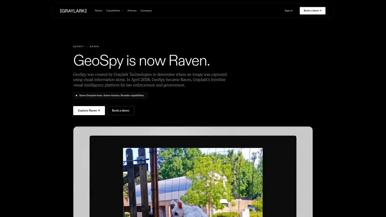
GeoSpy was created and operated by Graylark Technologies. GeoSpy.ai now directs users to Graylark.com/geospy, the official page explaining GeoSpy’s evolution into Raven.
Is GeoSpy now called Raven?
Yes. GeoSpy became Raven in April 2026 as the platform expanded beyond regional image geolocation into broader visual intelligence and investigative capabilities.
Who created GeoSpy?
GeoSpy was created by Graylark Technologies. Raven is developed by the same Graylark team.
Is the original GeoSpy AI still available?
The visual-geolocation capabilities associated with GeoSpy continue inside Raven. Raven is available to qualified law-enforcement, government, public-safety, intelligence, and enterprise organizations.
Does Raven still perform image geolocation?
Yes. Image geolocation remains a core Raven capability, alongside street targeting, vehicle identification, image verification, and case-oriented workflows.
Where can existing GeoSpy users sign in?
Existing users can access their workspace through the Raven sign-in page.
GeoSpy.ai Website Engagement
Last Update: 9 days ago
Total Monthly Visits
0
Bounce Rate
0%
Visit Duration (avg)
0.00s
Pages Per Visit
0
Country Rank
0
Ukraine
Global Rank
0
Category Rank
#0
Computers Electronics & Technology
Monthly Traffic
Traffic Sources
Traffic Share By Country
- United States15.5%
- Brazil8.6%
- Russia6.2%
- Germany6%
- Taiwan6%