AI assistant for safe, reliable productivity with code, collaboration, and integrations.

GeoSpy
FreeStarting price
30KMonthly visits
25Popularity
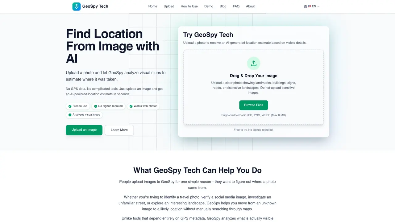
About GeoSpy
GeoSpy is an online service that estimates the location where a photograph was taken by analyzing visible details such as landmarks, architecture, road signs, vegetation, and terrain. It does not rely on embedded GPS metadata, making it useful for images where location data is missing or unavailable. Users upload a supported image file, and the AI examines multiple visual signals to generate a location estimate. The tool is designed for quick analysis, returning results in seconds without requiring registration. It supports common image formats up to 8 MB and is intended for identifying travel photos, verifying social media images, investigating unfamiliar streets, or exploring landscapes. The accuracy of the estimate depends on the strength of the visual clues present in the image.
Key features
- Upload images via drag and drop or file selection
- Analyzes landmarks, buildings, and road signs
- Examines vegetation and terrain for geographic context
- Generates location estimates at country, region, or city level
- Supports JPG, PNG, and WEBP formats
- No GPS data required for analysis
Use cases
- Identifying locations from travel photos
- Verifying the origin of social media images
- Estimating locations from unfamiliar street scenes
Pros
- No signup required
- Free to use
- Analyzes visual clues instead of GPS metadata
- Supports multiple image formats
- Provides quick location estimates
Cons
- Does not guarantee exact results for every photo
- Limited to images with visible geographic signals
- Maximum file size of 8 MB
- No mobile app version
Frequently asked questions about GeoSpy
What does GeoSpy do?
GeoSpy estimates where a photograph was taken by analyzing visible details such as landmarks, architecture, road signs, vegetation, and terrain. It does not rely on embedded GPS metadata.
Who is GeoSpy designed for?
GeoSpy is designed for anyone who needs to identify the location of an image, such as travelers, social media users, investigators, or landscape enthusiasts.
Does GeoSpy require registration or payment?
GeoSpy is free to use and does not require registration or signup. Users can upload images and receive AI-powered location estimates without providing personal information.
What image formats and sizes does GeoSpy support?
GeoSpy supports common image formats including JPG, PNG, and WEBP, with a maximum file size of 8 MB.
How accurate are the location estimates?
The accuracy depends on the strength of the visual clues in the image. Stronger geographic signals, such as landmarks or readable signs, yield more precise results.
Can GeoSpy analyze indoor images or close-up objects?
GeoSpy works best with outdoor scenes containing clear visual details. Indoor images, blurry photos, or close-up objects typically provide fewer geographic clues and may yield less accurate results.
GeoSpy Website Engagement
Last Update: 9 days ago
Total Monthly Visits
0
Bounce Rate
0%
Visit Duration (avg)
0.00s
Pages Per Visit
0
Country Rank
0
France
Global Rank
0
Monthly Traffic
Traffic Sources
Traffic Share By Country
- Russia15%
- France12.2%
- United States11.3%
- Italy9.8%
- Germany8.1%