GitHub hosts HunyuanVideo, Tencent's open-source framework for large-scale video generation models, enabling AI-driven video creation.
GeoLook
1.9KMonthly visits
5Popularity
About GeoLook
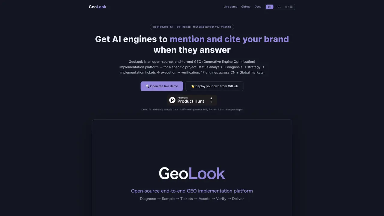
GeoLook is an open-source end-to-end geographic data processing and visualization platform designed to streamline the implementation of geographic information systems (GIS) workflows. It provides a web-based interface accessible through a locally hosted server, enabling users to interact with geographic data without requiring cloud-based solutions. The tool is initiated via a command-line interface, where users clone the repository, install necessary dependencies, and execute a Python script to launch a local web server on port 8765. This setup allows for offline or private data processing, making it suitable for environments with restricted internet access or data sensitivity concerns. GeoLook supports multiple languages, including English, Chinese, and Japanese, catering to a diverse user base. The platform is distributed under the MIT License, encouraging community contributions and customization. Documentation and a GitHub repository are available to assist users in installation, configuration, and troubleshooting. Its lightweight and open-source nature makes it accessible for developers, researchers, and organizations seeking a flexible GIS solution.
Key features
- Open-source codebase
- Local web server for GEO visualization
- Command-line interface for setup
- Multi-language support
- Python-based dependencies
- Documentation and GitHub repository
- MIT License compliance
Use cases
- Geographic data visualization projects
- Local GEO implementation testing
- Educational use for geographic data processing
Pros
- Open-source and MIT licensed
- Supports multiple languages
- Local server setup with web interface
- Command-line installation and execution
- GitHub repository for community access
Cons
- Requires local installation and setup
- No cloud-based or hosted version mentioned
- Limited to Python environment
- No explicit support for mobile devices
Frequently asked questions about GeoLook
What is GeoLook?
GeoLook is an open-source end-to-end GEO implementation platform designed for geographic data processing and visualization. It provides a web-based interface accessible via a local server setup.
Who should use GeoLook?
GeoLook is suitable for developers, researchers, and organizations working with geographic data who need a flexible, open-source solution for processing and visualizing geospatial information.
How do I get started with GeoLook?
Users can get started by cloning the GeoLook repository from GitHub, installing the required dependencies, and running a Python script to launch the local web server on port 8765.
Does GeoLook support multiple languages?
Yes, GeoLook supports multiple languages including English, Chinese, and Japanese, making it accessible to a broader user base.
What license does GeoLook use?
GeoLook is distributed under the MIT License, allowing users to freely use, modify, and distribute the software.
Where can I find documentation for GeoLook?
Documentation for GeoLook is available on its GitHub repository and official website, providing guidance on installation, usage, and contributions.
GeoLook Website Engagement
Last Update: 9 days ago
Total Monthly Visits
0
Bounce Rate
0%
Visit Duration (avg)
—
Pages Per Visit
0
Country Rank
0
United States
Global Rank
0